Getting here
52.15963, 1.03468
Visiting this summer
Seasonal nature notes and what to look for now
Visiting this summer
Seasonal nature notes and what to look for now
- 🌞Midsummer — early morning visits most comfortable; look for deer fawns in quieter clearings
- 🐕Early mornings are best for dog walks in summer — visit before 9am to avoid the heat and find quieter trails
- 📍Open access throughout summer — no booking required
🌤️ Visiting this summer
- 🌞Midsummer — early morning visits most comfortable; look for deer fawns in quieter clearings
- 🐕Early mornings are best for dog walks in summer — visit before 9am to avoid the heat and find quieter trails
- 📍Open access throughout summer — no booking required
Good to know
- £Free to visit — no entry charge
- 🐕Dogs welcome
Best for
Dog walks
Strong match
Dogs allowed — public woodland
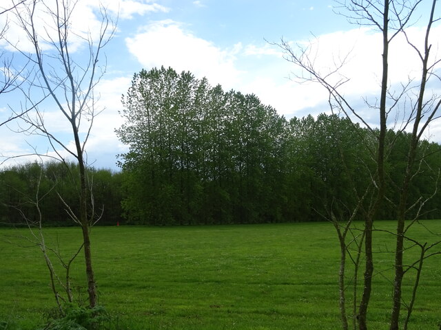
Wildlife
Strong match
Deciduous woodland priority habitat
Bird watching
Strong match
Deciduous woodland — woodpeckers, warblers and woodland birds
Cycling
Good match
Named cycling route nearby: NCN 51
Foraging
Good match
Deciduous woodland — fungi, berries and wild garlic
Forest walks
Good match
Public woodland
Trails nearby
Within roughly 5 km🚶Walking
2 signed routes nearby · 7 public paths nearby
Signed route nearbyPublic paths
Walking
The Mid Suffolk FootpathWalking route34.6 km
Gipping Valley River PathWalking route
Hurstlea Roadpublic footpath · 475 m
Anderson Closepublic footpath · 101 m
🚴Cycling
52 signed routes nearby
Signed route nearby
Cycling
NCN 51Cycling route
Main RouteCycling route982 m
Main RouteCycling route708 m
Main RouteCycling route563 m
Main RouteCycling route834 m
Main RouteCycling route20 m
🐴Horse riding
2 public paths nearby
Public paths
Horse riding
Badley Lanebridleway · 1.4 km
Hill House Lanerestricted byway · 88 m
Wildlife to spot
Photos
Weather for this location
Loading local forecast…
Nearby places
Useful places within 5 km
Own or manage this place?
Claim this listing to keep details accurate, add photos, and highlight what makes it special — free.
Claim this pageHow was your visit?
How useful was the information on this page?
id: fe2f5404-f6fb-49dc-967c-d1d038a2ccdb