Getting here
54.73517, -1.57874
Visiting this summer
Seasonal nature notes and what to look for now
Visiting this summer
Seasonal nature notes and what to look for now
- 🌞Midsummer — early morning visits most comfortable; look for deer fawns in quieter clearings
- 🐕Early mornings are best for dog walks in summer — visit before 9am to avoid the heat and find quieter trails
- 📍Open access throughout summer — no booking required
🌤️ Visiting this summer
- 🌞Midsummer — early morning visits most comfortable; look for deer fawns in quieter clearings
- 🐕Early mornings are best for dog walks in summer — visit before 9am to avoid the heat and find quieter trails
- 📍Open access throughout summer — no booking required
Good to know
- £Free to visit — no entry charge
- 🐕Dogs welcome
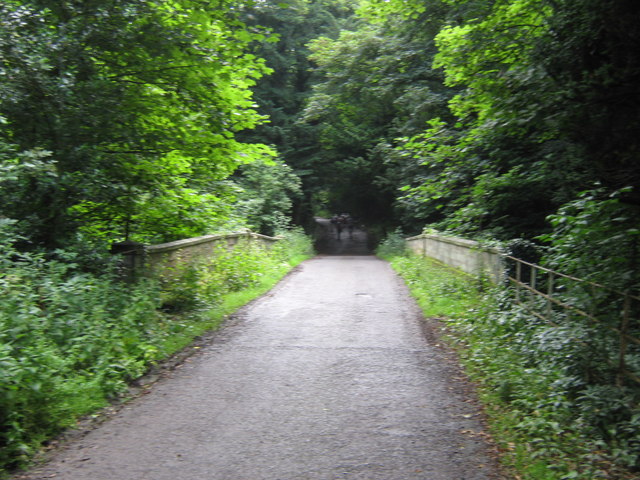
- 🌿Ancient woodland — rare wildlife habitat
Best for
Wildlife
Strong match
Deciduous woodland priority habitat; Ancient woodland
Dog walks
Strong match
Dogs allowed — public woodland
Seasonal nature
Strong match
Ancient woodland — bluebells, fungi and autumn colour
Bird watching
Strong match
Deciduous woodland — woodpeckers, warblers and woodland birds
Foraging
Good match
Deciduous woodland — fungi, berries and wild garlic
Heritage
Good match
Ancient woodland — historic landscape
Trails nearby
Within roughly 5 km🚶Walking
19 signed routes nearby · 26 public paths nearby
Signed route nearbyPublic paths
Walking
Weardale WayWalking route124 km
Small Pilgrim PlacesWalking route14.5 km
Cassop-cum-Quarrington circular walkWalking route
Houghall Discovery TrailWalking route
West Bowburn WayWalking route
🚴Cycling
60 signed routes nearby
Signed route nearby
Cycling
Walney to Wear Cycle RouteCycling route
Route 14Cycling route
Great North CyclewayCycling route
National Byway (County Durham and Northumberland)Cycling route
The National Byway route through County Durham and Northumberland
Great North CyclewayCycling route
Main RouteCycling route421 m
🐴Horse riding
19 public paths nearby
Public paths
Horse riding
Bridle Roadbridleway · 24 m
Bridle Roadbridleway · 589 m
Wildlife to spot
Photos
Weather for this location
Loading local forecast…
Nearby places
Useful places within 5 km
Own or manage this place?
Claim this listing to keep details accurate, add photos, and highlight what makes it special — free.
Claim this pageHow was your visit?
How useful was the information on this page?
id: 5b7ae7d7-6f0c-4187-aed9-90a9b9f329cf