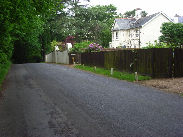
Getting here
51.19807, -0.77949
Visiting this summer
Seasonal nature notes and what to look for now
Visiting this summer
Seasonal nature notes and what to look for now
- 🌞Midsummer — early morning visits most comfortable; look for deer fawns in quieter clearings
- 🐕Early mornings are best for dog walks in summer — visit before 9am to avoid the heat and find quieter trails
- 🅿️Parking 350m away — 2 car parks within reach
🌤️ Visiting this summer
- 🌞Midsummer — early morning visits most comfortable; look for deer fawns in quieter clearings
- 🐕Early mornings are best for dog walks in summer — visit before 9am to avoid the heat and find quieter trails
- 🅿️Parking 350m away — 2 car parks within reach
Good to know
- £Free to visit — no entry charge
- 🐕Dogs welcome
Best for
Dog walks
Strong match
Dogs allowed — public woodland
Wildlife
Strong match
Deciduous woodland priority habitat
Bird watching
Strong match
Deciduous woodland — woodpeckers, warblers and woodland birds
Foraging
Good match
Deciduous woodland — fungi, berries and wild garlic
Forest walks
Good match
Public woodland
Trails nearby
Within roughly 5 km🚶Walking
15 signed routes nearby · 38 public paths nearby
Signed route nearbyPublic paths
Walking
St Swithun's WayWalking route
Alice Holt Forest: Easy Access TrailWalking route
Alice Holt Forest: Lodge Pond TrailWalking route
Blackwater Valley PathWalking route
The Shipwrights WayWalking route
A long distance route which links villages and towns in east Hampshire. The name reflects the use of oak grown at Alice Holt Forest for Tudor shipbuilding.
Dene Walkpublic footpath · 197 m
Dene Walkpublic footpath · 55 m
Old Man's Hillpublic footpath · 3 m
🚴Cycling
44 signed routes nearby
Signed route nearby
Cycling
Rushmoor cycle network (Aldershot)Cycling route
Scholars GreenwayCycling route
Weyside GreenwayCycling route
Final NCN 22 route through the centre of Farnham
Route 22Cycling route
Route 224Cycling route
Surrey CyclewayCycling route
Farnham link
🚵Mountain biking
8 signed routes nearby
Signed route nearby
Mountain biking
King Alfred's WayMountain bike route
King Alfreds Way is 350km (220 miles) off road route designed to be ridden clockwise. It starts & ends in Winchester. It is suitable for gravel or cross-country bikes.
Christmas Pie TrailMountain bike route13.7 km
leisure route from East Farnham to northwest Guildford
Alice Holt Forest: Family Cycle RouteMountain bike route
Bordon Off Road Cycle TrailMountain bike route
Cycle Surrey Hills - Elstead LoopMountain bike route
Blackwater Valley Multi-User PathMountain bike route
🐴Horse riding
14 public paths nearby
Public paths
Horse riding
Dene Lanebridleway · 177 m
Dene Lanebridleway · 30 m
Dene Lanebridleway · 10 m
Dene Lanebridleway · 116 m
Dene Lanebridleway · 112 m
Wildlife to spot
Photos
Weather for this location
Loading local forecast…
Nearby places
Useful places within 5 km
Own or manage this place?
Claim this listing to keep details accurate, add photos, and highlight what makes it special — free.
Claim this pageHow was your visit?
How useful was the information on this page?
id: 12e1b94f-2d83-4992-ad38-19dfa83cedcb