Getting here
51.74788, -2.03889
Visiting this summer
Seasonal nature notes and what to look for now
Visiting this summer
Seasonal nature notes and what to look for now
- 🌞Midsummer — early morning visits most comfortable; look for deer fawns in quieter clearings
- 🐕Early mornings are best for dog walks in summer — visit before 9am to avoid the heat and find quieter trails
- 📍Open access throughout summer — no booking required
🌤️ Visiting this summer
- 🌞Midsummer — early morning visits most comfortable; look for deer fawns in quieter clearings
- 🐕Early mornings are best for dog walks in summer — visit before 9am to avoid the heat and find quieter trails
- 📍Open access throughout summer — no booking required
Good to know
- £Free to visit — no entry charge
- 🐕Dogs welcome
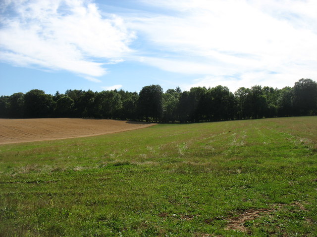
- 🌿Ancient woodland — rare wildlife habitat
Best for
Wildlife
Strong match
Deciduous woodland priority habitat; Ancient woodland
Dog walks
Strong match
Dogs allowed — public woodland
Seasonal nature
Strong match
Ancient woodland — bluebells, fungi and autumn colour
Bird watching
Strong match
Deciduous woodland — woodpeckers, warblers and woodland birds
Foraging
Good match
Deciduous woodland — fungi, berries and wild garlic
Forest walks
Good match
Public woodland
Trails nearby
Within roughly 5 km🚶Walking
5 signed routes nearby
Signed route nearby
Walking
Monarch's WayWalking route990 km
approximate route of Charles II's escape
Macmillan WayWalking route290 km
The Roman WayWalking route274.5 km
Wysis WayWalking route88.5 km
Long distance footpath forming a link between the Thames and the Wye
Thames & Severn WayWalking route69.8 km
Linking the Severn to the Thames following the route of the Stroudwater Navigation and Thames & Severn Canal as closely as possible using public rights of way. As the canals are restored, it will be updated to use the reinstated towpath wherever possible.
🚴Cycling
15 signed routes nearby
Signed route nearby
Cycling
Mercian WayCycling route
National BywayCycling route
Fosse2Cycling route
Cotswold CyclewayCycling route
Main RouteCycling route226 m
Alternative RouteCycling route155 m
🐴Horse riding
1 public path nearby
Public paths
Horse riding
No named routes yet. Public paths are shown on the map.
Wildlife to spot
Photos
Weather for this location
Loading local forecast…
Nearby places
Useful places within 5 km
Own or manage this place?
Claim this listing to keep details accurate, add photos, and highlight what makes it special — free.
Claim this pageHow was your visit?
How useful was the information on this page?
id: 2d0e7eaa-e1e8-46ec-8cf5-9aead607575e