🌞Midsummer — early morning visits most comfortable; look for deer fawns in quieter clearings
🌿Foraging is at its best in summer here
🐕Dogs welcome — bring water in summer; the site has enough space to find shade on hot days
🌤️ Visiting this summer
🌞Midsummer — early morning visits most comfortable; look for deer fawns in quieter clearings
🌿Foraging is at its best in summer here
🐕Dogs welcome — bring water in summer; the site has enough space to find shade on hot days
Good to know
£Free to visit — no entry charge
🐕Dogs welcome
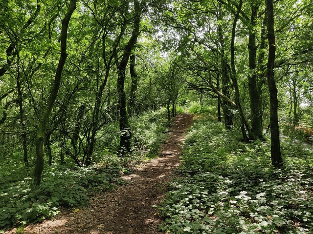
🌿Ancient woodland — rare wildlife habitat
🅿️Parking· Free
Best for
6 activities
🦉
Wildlife
Strong match
Deciduous woodland priority habitat; Ancient woodland
Free
🍂
Seasonal nature
Strong match
Ancient woodland — bluebells, fungi and autumn colour
Free
🦅
Bird watching
Strong match
Deciduous woodland — woodpeckers, warblers and woodland birds
Free
🌿
Foraging
Good match
Deciduous woodland — fungi, berries and wild garlic
Varies
✦
Heritage
Good match
Ancient woodland — historic landscape
Free
🌲
Forest walks
Moderate match
Public woodland
Free
Trails nearby
Within roughly 5 km
🚶
Walking
▾
14 signed routes nearby · 18 public paths nearby
Signed route nearbyPublic paths
Monarch's WayWalking route990 km▾
approximate route of Charles II's escape
Named routeRef MWLength 990 kmRegional walking route
Woodpecker TrailWalking route▾
Named routeLocal walking route
The Rabbit Trail, Clent HillsWalking route4.3 km▾
Take in some of Clent Hills best-loved features and viewpoints on the Rabbit Trail. Please be aware the footpaths and terrain is uneven and this walk includes steep inclines and steps.
Named routeLength 4.3 kmDuration 01:30Round tripLocal walking route
Royal Hunters Walks - Foresters' walkWalking route8 km▾
Named routeLength 8 kmLocal walking route
Royal Hunters Walks - Hedgelayers' walkWalking route5 km▾
Named routeLength 5 kmLocal walking route
Brown's Waypublic footpath · 553 m▾
Public pathpublic footpathLength 553 mSurface dirtPath type: footway