🌞Midsummer — early morning visits most comfortable; look for deer fawns in quieter clearings
⛳Golf is at its best in summer here
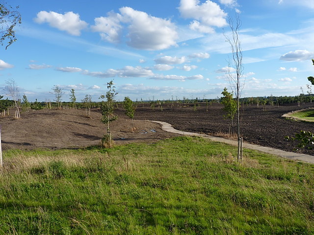
🐕Dogs welcome — bring water in summer; the site has enough space to find shade on hot days
🌤️ Visiting this summer
🌞Midsummer — early morning visits most comfortable; look for deer fawns in quieter clearings
⛳Golf is at its best in summer here
🐕Dogs welcome — bring water in summer; the site has enough space to find shade on hot days
Good to know
🐕Dogs welcome
Best for
1 activity
⛳
Golf
Very strong match
Golf course
Paid
Trails nearby
Within roughly 5 km
🚶
Walking
▾
10 signed routes nearby
Signed route nearby
Monarch's WayWalking route990 km▾
approximate route of Charles II's escape
Named routeRef MWLength 990 kmRegional walking route
Four Commons WalkWalking route9.5 km▾
Circular route following the Wyrley & Essington Canal to Clayhanger Common – one of Walsall’s much-loved areas of green, open space.
Distance: 6 miles/9.5 km(approx)
Duration: 120 mins(approx)
Named routeLength 9.5 kmRound tripLocal walking route
Northycote Farm to Moseley Old Hall Walk, Moseley Old HallWalking route4.8 km▾
Trace the footsteps of a king as you join up with the Monarch's Way in the West Midlands. This route runs along fairly flat, woodland paths that can become muddy, as well as grassy fields and made tracks.
Named routeLength 4.8 kmDuration 01:30Round tripLocal walking route
Clayhanger Common WalkWalking route9.5 km▾
Short, circular route following the Wyrley & Essington Canal to Clayhanger Common – one of Walsall’s much-loved areas of green, open space.
Distance: 6 miles/9.5 km(approx)
Duration: 120 mins(approx)
Named routeLength 9.5 kmRound tripLocal walking route
Beacon WayWalking route40 km▾
Starting at Sandwell Valley via the outskirts of Birmingham and the countryside of Walsall into Staffordshire. Take in the Forest of Mercia, lakes, nature reserves, woods, and canal banks. Named after Barr Beacon, one of the highest hills in this area.
Named routeLength 40 kmPoint-to-pointRegional walking route
Named routeRef Starley NetworkLength 804 kmRegional cycle route
Sneyd Junction to Cannock Extension CanalCycling route8.8 km▾
A semi-rural route following the curves of the canal, until it opens out into parkland at the Cannock Extension.
Distance: 5.5 miles/8.8 km (approx)
Duration: 45 min (approx)
Named routeLength 8.8 kmPoint-to-pointLocal cycle route
Cannock Extension Canal to Longwood JunctionCycling route11.2 km▾
Canalside route leading past Clayhanger Common and through Rushall, with a pub along the way.
Distance: 7 miles/11.2 km (approx)
Duration: 60 min (approx)
Named routeLength 11.2 kmPoint-to-pointLocal cycle route
Sneyd Junction to Pudding Green JunctionCycling route16 km▾
Canalside route passing through the heartlands of the industrial Black Country. Decends using the Walsall locks then rises at Ryders Green Locks.
Distance: 10 miles/16 km (approx)
Duration: 90 min (approx)
Named routeLength 16 kmPoint-to-pointLocal cycle route
Sneyd Junction to Horseley Fields JunctionCycling route9.6 km▾
Canalside route following the Wyrley & Essington, taking New Cross Bridge, where the towpath changes to the other side of the canal.
Distance: 6 miles/9.6 km (approx)
Duration: 60 min (approx)
Named routeLength 9.6 kmPoint-to-pointLocal cycle route