Getting here
52.54735, -1.53143
Visiting this summer
Seasonal nature notes and what to look for now
Visiting this summer
Seasonal nature notes and what to look for now
- 🐦62+ species recorded in this area — summer evenings are best for activity; watch for Blue Tit and Wren
- ☀️Summer family visits work well here — arrive early and plan for a longer stay
- 🛝Playground 188m away — built-in entertainment for younger visitors alongside the wider site
🌤️ Visiting this summer
- 🐦62+ species recorded in this area — summer evenings are best for activity; watch for Blue Tit and Wren
- ☀️Summer family visits work well here — arrive early and plan for a longer stay
- 🛝Playground 188m away — built-in entertainment for younger visitors alongside the wider site
Good to know
- £Free to visit — no entry charge
- 🐕Dogs welcome
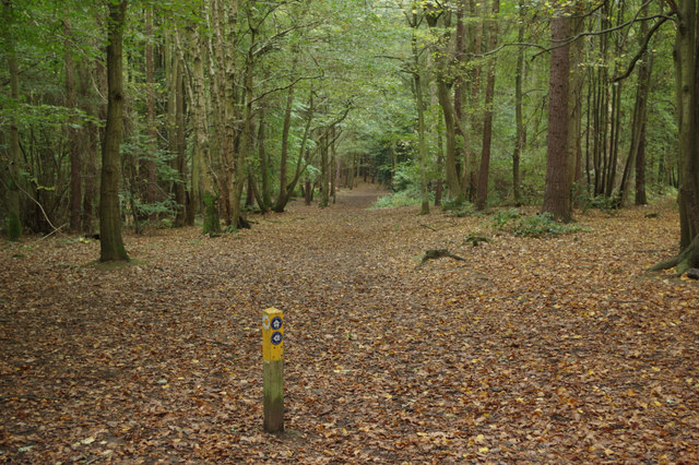
- 🌿Ancient woodland — rare wildlife habitat
Best for
Bird watching
Very strong match
Birds — Blue Tit, Wren, Dunnock +59 more · last seen 2025; Birds — Blue Tit, Wren, Dunnock +59 more · last seen 2025
Playgrounds
Strong match
playground, toilets, parking
Family friendly
Strong match
playground, toilets
Wildlife
Strong match
Deciduous woodland priority habitat; Ancient woodland
Dog walks
Strong match
Dogs allowed — public woodland
Foraging
Good match
Deciduous woodland — fungi, berries and wild garlic
Trails nearby
Within roughly 5 km🚶Walking
6 signed routes nearby · 8 public paths nearby
Signed route nearbyPublic paths
Walking
Centenary WayWalking route
North Arden Heritage TrailWalking route
Quarrymans WalkWalking route
North Arden Trail - Parish LoopWalking route
Rail Trail: Bermuda Park > BedworthWalking route5.6 km
A 3.5-mile surprisingly rural walk between two stations on the Coventry to Nuneaton Line. Discover canals, countryside and a splash of mining heritage. Duration: 2 hours Distance: 3.5 miles
🚴Cycling
66 signed routes nearby
Signed route nearby
Cycling
Route 52Cycling route
Northern Warwickshire CyclewayCycling route
Alternative RouteCycling route498 m
Main RouteCycling route59 m
Alternative RouteCycling route61 m
Main RouteCycling route726 m
🐴Horse riding
2 public paths nearby
Public paths
Horse riding
No named routes yet. Public paths are shown on the map.
Wildlife to spot
Photos
Weather for this location
Loading local forecast…
Nearby places
Useful places within 5 km
Own or manage this place?
Claim this listing to keep details accurate, add photos, and highlight what makes it special — free.
Claim this pageHow was your visit?
How useful was the information on this page?
id: 44fc3d97-9242-4dd6-a94e-e55917003800