Getting here
52.16561, 1.02274
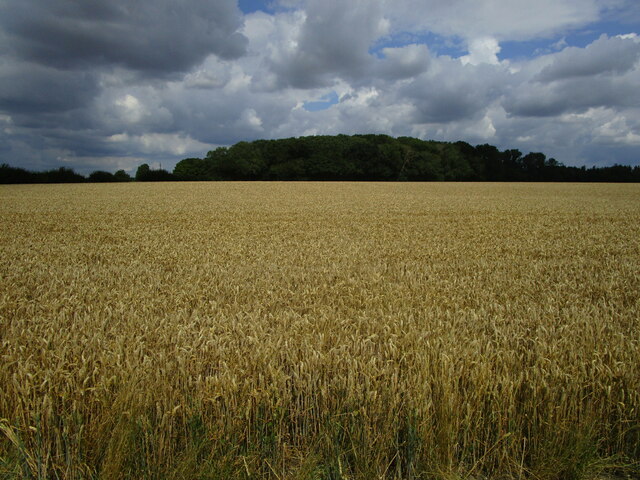
Visiting this summer
Seasonal nature notes and what to look for now
Visiting this summer
Seasonal nature notes and what to look for now
- 🐦65+ species recorded in this area — summer evenings are best for activity; watch for Great Tit and Blue Tit
- 🌿Foraging is at its best in summer here
- 🐕Dogs welcome — bring water in summer; the site has enough space to find shade on hot days
🌤️ Visiting this summer
- 🐦65+ species recorded in this area — summer evenings are best for activity; watch for Great Tit and Blue Tit
- 🌿Foraging is at its best in summer here
- 🐕Dogs welcome — bring water in summer; the site has enough space to find shade on hot days
Good to know
- £Free to visit — no entry charge
- 🐕Dogs welcome
- 🌿Ancient woodland — rare wildlife habitat
Best for
Bird watching
Very strong match
Birds — Great Tit, Blue Tit, Robin +62 more · last seen 2026; Birds — Great Tit, Blue Tit, Robin +62 more · last seen 2026
Wildlife
Very strong match
Multi-group wildlife — Birds, Mammals; Multi-group wildlife — Birds, Mammals
Foraging
Strong match
Plants — Hazel, Common Nettle, Pedunculate Oak +27 more foraging species; Deciduous woodland — fungi, berries and wild garlic
Seasonal nature
Strong match
Plants — Hazel, Ash, Himalayan Balsam +228 more · last seen 2025; Plants — Hazel, Ash, Himalayan Balsam +228 more · last seen 2025
Dog walks
Strong match
Dogs allowed — public woodland
Insect spotting
Good match
Insects — Banded Demoiselle, Firebug, Common Darter +2 more · last seen 2025; Insects — Banded Demoiselle, Firebug, Common Darter +2 more · last seen 2025
Trails nearby
Within roughly 5 km🚶Walking
2 signed routes nearby · 26 public paths nearby
Signed route nearbyPublic paths
Walking
The Mid Suffolk FootpathWalking route34.6 km
Gipping Valley River PathWalking route
Gipping Valley River Pathpublic footpath · 28 m
Gipping Valley River Pathpublic footpath · 56 m
Gipping Valley River Pathpublic footpath · 208 m
🚴Cycling
52 signed routes nearby
Signed route nearby
Cycling
NCN 51Cycling route
Main RouteCycling route982 m
Main RouteCycling route708 m
Main RouteCycling route563 m
Main RouteCycling route834 m
Main RouteCycling route20 m
🐴Horse riding
1 public path nearby
Public paths
Horse riding
Badley Lanebridleway · 1.4 km
Wildlife to spot
Photos
Weather for this location
Loading local forecast…
Nearby places
Useful places within 5 km
Own or manage this place?
Claim this listing to keep details accurate, add photos, and highlight what makes it special — free.
Claim this pageHow was your visit?
How useful was the information on this page?
id: 04f3e1eb-fe19-4a7a-ac13-f5f8063cb10c