Getting here
51.42102, -1.07513
Visiting this summer
Seasonal nature notes and what to look for now
Visiting this summer
Seasonal nature notes and what to look for now
- 🌞Midsummer — early morning visits most comfortable; look for deer fawns in quieter clearings
- 🐕Early mornings are best for dog walks in summer — visit before 9am to avoid the heat and find quieter trails
- 📍Open access throughout summer — no booking required
🌤️ Visiting this summer
- 🌞Midsummer — early morning visits most comfortable; look for deer fawns in quieter clearings
- 🐕Early mornings are best for dog walks in summer — visit before 9am to avoid the heat and find quieter trails
- 📍Open access throughout summer — no booking required
Good to know
- £Free to visit — no entry charge
- 🐕Dogs welcome
Best for
Wildlife
Very strong match
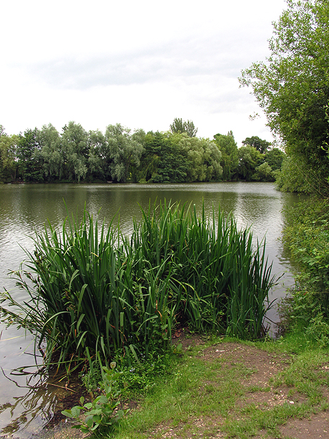
Multi-group wildlife — Amphibians, Birds, Mammals, Reptiles; Multi-group wildlife — Amphibians, Birds, Mammals, Reptiles
Bird watching
Very strong match
Birds — Robin, Woodpigeon, Mallard +73 more · last seen 2026; Birds — Robin, Woodpigeon, Mallard +73 more · last seen 2026
Insect spotting
Strong match
Insects — Common Blue Damselfly, Blue-tailed Damselfly, Migrant Hawker +75 more · last seen 2025; Insects — Common Blue Damselfly, Blue-tailed Damselfly, Migrant Hawker +75 more · last seen 2025
Dog walks
Strong match
Dogs allowed — public woodland
Cycling
Good match
Named cycling route nearby: Route 4
Foraging
Good match
Deciduous woodland — fungi, berries and wild garlic
Trails nearby
Within roughly 5 km🚶Walking
7 signed routes nearby · 8 public paths nearby
Signed route nearbyPublic paths
Walking
The Roman WayWalking route274.5 km
Wasing WayWalking route
European walking route E2 west, UK, South East EnglandWalking route
Westroute: Stranraer (UK) - Birminhgham (UK) - Calais (FR) - Zoersel (BE) / Eastroute: Stranraer (UK) - Harwich (UK) - Rotterdam (NL) - Zoersel (BE) / Both Routes: Zoersel (BE) - Maastrich (NL) - Luxembourg (LUX) - Lake Geneva (CH) - Nice (FR)
Kennet and Avon Canal TrailWalking route140 km
Rivers linked by a canal. The name refers to the entire navigable length. From Bristol the way is the Avon. The canal is from Bath to Newbury. From there to Reading the way is the Kennet. 53 locks to Summit Pound (150 m asl) and 54 down to Reading.
St James' WayWalking route110 km
🚴Cycling
40 signed routes nearby
Signed route nearby
Cycling
Round Berkshire Cycle RouteCycling route
National Cycle Route 23Cycling route
Route R5Cycling route
Route R6Cycling route
Reading R50Cycling route
EuroVelo 2 - Capitals Route - part United Kingdom 4Cycling route
Wildlife to spot
Photos
Weather for this location
Loading local forecast…
Nearby places
Useful places within 5 km
Own or manage this place?
Claim this listing to keep details accurate, add photos, and highlight what makes it special — free.
Claim this pageHow was your visit?
How useful was the information on this page?
id: 42eb6a85-78aa-4d51-be5d-c87e25ff4896