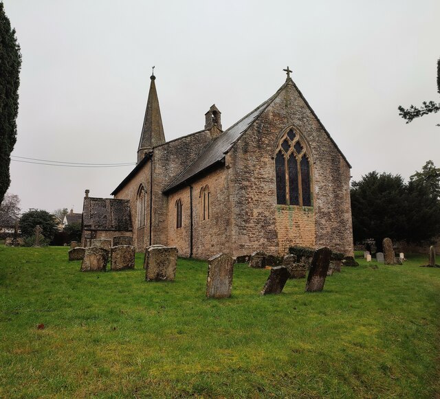
St John the Baptist's Church
Plan your visit
Getting here
51.86686, -1.65368
Visiting this summer
Seasonal nature notes and what to look for now
Visiting this summer
Seasonal nature notes and what to look for now
- 🐦67+ species recorded in this area — summer evenings are best for activity; watch for Woodpigeon and Blackbird
- 🐕Early mornings are best for dog walks in summer — visit before 9am to avoid the heat and find quieter trails
- 📍Open access throughout summer — no booking required
🌤️ Visiting this summer
- 🐦67+ species recorded in this area — summer evenings are best for activity; watch for Woodpigeon and Blackbird
- 🐕Early mornings are best for dog walks in summer — visit before 9am to avoid the heat and find quieter trails
- 📍Open access throughout summer — no booking required
Good to know
- £Free to visit — no entry charge
- 🐕Dogs welcome
Best for
Bird watching
Very strong match
Birds — Woodpigeon, Blackbird, Carrion Crow +64 more · last seen 2026; Birds — Woodpigeon, Blackbird, Carrion Crow +64 more · last seen 2026
Wildlife
Very strong match
Multi-group wildlife — Birds, Mammals; Multi-group wildlife — Birds, Mammals
Insect spotting
Strong match
Insects — Pea-leaf Weevil, Meadow Plant Bug, Platycheirus angustatus +197 more · last seen 2022; Insects — Pea-leaf Weevil, Meadow Plant Bug, Platycheirus angustatus +197 more · last seen 2022
Dog walks
Good match
Dogs allowed with public access
Hiking
Good match
Named hiking route nearby: D'Arcy Dalton Way
Heritage
Moderate match
Religious grounds — local heritage
Trails nearby
Within roughly 5 km🚶Walking
9 signed routes nearby · 2 public paths nearby
Signed route nearbyPublic paths
Walking
Oxfordshire WayWalking route110 km
a traverse of Oxfordshire from the Cotswolds to the Chilterns
Diamond WayWalking route106 km
D'Arcy Dalton WayWalking route107 km
Follows roughly the western boundary of Oxfordshire in unspoilt countryside.
Donnington WayWalking route100 km
European walking route E2 west, UK, South East EnglandWalking route
Westroute: Stranraer (UK) - Birminhgham (UK) - Calais (FR) - Zoersel (BE) / Eastroute: Stranraer (UK) - Harwich (UK) - Rotterdam (NL) - Zoersel (BE) / Both Routes: Zoersel (BE) - Maastrich (NL) - Luxembourg (LUX) - Lake Geneva (CH) - Nice (FR)
🚴Cycling
4 signed routes nearby
Signed route nearby
Cycling
Cotswold Line Cycle RouteCycling route
Main RouteCycling route5.3 km
Main RouteCycling route925 m
Main RouteCycling route4.8 km
🐴Horse riding
2 public paths nearby
Public paths
Horse riding
No named routes yet. Public paths are shown on the map.
Wildlife to spot
Photos
Weather for this location
Loading local forecast…
Nearby places
Useful places within 5 km
Own or manage this place?
Claim this listing to keep details accurate, add photos, and highlight what makes it special — free.
Claim this pageHow was your visit?
How useful was the information on this page?
id: 03d3f4d1-1a2e-4c3b-8cc1-c4b9b76ab4c8