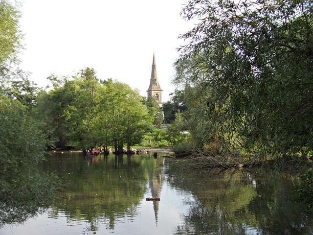
St Mary's and St Michael's Church
Getting here
51.94395, 1.07450
Visiting this summer
Seasonal nature notes and what to look for now
Visiting this summer
Seasonal nature notes and what to look for now
- 🐦83+ species recorded in this area — summer evenings are best for activity; watch for Carrion Crow and Black-headed Gull
- 🐕Early mornings are best for dog walks in summer — visit before 9am to avoid the heat and find quieter trails
- 🅿️Kiln Lane Public Parking 368m away — 4 car parks within reach
🌤️ Visiting this summer
- 🐦83+ species recorded in this area — summer evenings are best for activity; watch for Carrion Crow and Black-headed Gull
- 🐕Early mornings are best for dog walks in summer — visit before 9am to avoid the heat and find quieter trails
- 🅿️Kiln Lane Public Parking 368m away — 4 car parks within reach
Good to know
- £Free to visit — no entry charge
- 🐕Dogs welcome
Best for
Bird watching
Very strong match
Birds — Carrion Crow, Black-headed Gull, Woodpigeon +80 more · last seen 2025; Birds — Carrion Crow, Black-headed Gull, Woodpigeon +80 more · last seen 2025
Wildlife
Strong match
Birds — Carrion Crow, Black-headed Gull, Woodpigeon +80 more · last seen 2025; Birds — Carrion Crow, Black-headed Gull, Woodpigeon +80 more · last seen 2025
Dog walks
Good match
Dogs allowed with public access
Hiking
Good match
Named hiking route nearby: Essex Way (Stratford St Mary to Ramsey)
Heritage
Moderate match
Religious grounds — local heritage
Trails nearby
Within roughly 5 km🚶Walking
8 signed routes nearby · 18 public paths nearby
Signed route nearbyPublic paths
Walking
Alton Water Red RouteWalking route
Stour Valley Path part 3Walking route
Flatford and Constable Country Walk, FlatfordWalking route11.2 km
4 miles (6.4km) return from Manningtree to Flatford. Optional loop to Dedham adds another 3 miles (4.8km). Generally flat grass and gravel paths with some moderate slopes.
St Edmund WayWalking route
Stour & Orwell WalkWalking route
Church Lanepublic footpath · 415 m
Green Lanepublic footpath · 789 m
Church Lanepublic footpath · 42 m
🚴Cycling
5 signed routes nearby
Signed route nearby
Cycling
NCN 51Cycling route
South Suffolk Route BCycling route
Alton Water LoopCycling route
EuroVelo 2 - Capitals Route - part United Kingdom 8Cycling route
South Suffolk Route B2Cycling route
Wildlife to spot
Photos
Weather for this location
Loading local forecast…
Nearby places
Useful places within 5 km
Own or manage this place?
Claim this listing to keep details accurate, add photos, and highlight what makes it special — free.
Claim this pageHow was your visit?
How useful was the information on this page?
id: 4dcae4f2-bc59-43b4-9aa1-d528ba932f20