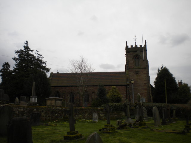
St Nicholas's Church
Plan your visit
Getting here
52.63406, -2.19900
Visiting this summer
Seasonal nature notes and what to look for now
Visiting this summer
Seasonal nature notes and what to look for now
- 🌞Midsummer — early morning visits most comfortable; look for deer fawns in quieter clearings
- 🚴Start cycling visits early on summer days — trails are best before the heat builds via Route 81
- 🐕Dogs welcome — bring water in summer; the site has enough space to find shade on hot days
🌤️ Visiting this summer
- 🌞Midsummer — early morning visits most comfortable; look for deer fawns in quieter clearings
- 🚴Start cycling visits early on summer days — trails are best before the heat builds via Route 81
- 🐕Dogs welcome — bring water in summer; the site has enough space to find shade on hot days
Good to know
- £Free to visit — no entry charge
- 🐕Dogs welcome
Best for
Wildlife
Very strong match
Multi-group wildlife — Amphibians, Birds, Mammals; Multi-group wildlife — Amphibians, Birds, Mammals
Bird watching
Very strong match
Birds — Blue Tit, Robin, Blackbird +84 more · last seen 2026; Birds — Blue Tit, Robin, Blackbird +84 more · last seen 2026
Insect spotting
Strong match
Insects — Harlequin Ladybird, 7-spot Ladybird, Green Shieldbug +32 more · last seen 2026; Insects — Harlequin Ladybird, 7-spot Ladybird, Green Shieldbug +32 more · last seen 2026
Seasonal nature
Good match
Plants — Hawthorn, Greater Periwinkle, Veronica hederifolia subsp. hederifolia +12 more · last seen 2026; Plants — Hawthorn, Greater Periwinkle, Veronica hederifolia subsp. hederifolia +12 more · last seen 2026
Cycling
Good match
Named cycling route nearby: Route 81
Dog walks
Good match
Dogs allowed with public access
Trails nearby
Within roughly 5 km🚶Walking
5 signed routes nearby · 12 public paths nearby
Signed route nearbyPublic paths
Walking
Monarch's WayWalking route990 km
approximate route of Charles II's escape
Black Country Canals: The Dudley & Stourbridge RingWalking route
'Circuit' of Canals surrounding Dudley & Stourbridge. Follow the fascinating network of junctions and branches through scenery varying from industrial warehouses to suprisingly secluded rural lengths.
Wolverhampton Locks WalkWalking route3.2 km
A short walk from the city centre, this linear walk follows the towpath, passing 21 locks, historic buildings and changing landscapes. Distance: 2 miles/3.2 km(approx) Duration: 40 mins(approx)
Staffordshire Way (Cannock Chase South)Walking route
Staffordshire Way, part Cannock Chase - south
Tettenhall Village TrailWalking route
The Tettenhall Trail takes you on a walk around the village pointing out some of its important buildings and historic sites. Due to the hilly nature, those with mobility issues are likely to find the trail difficult due to steep slopes and steps.
Gunstone Lanepublic footpath · 54 m
Gunstone Lanepublic footpath · 169 m
🚴Cycling
38 signed routes nearby
Signed route nearby
Cycling
South Staffordshire Railway WalkCycling route
[PROPOSED]Starley Regional Cycle NetworkCycling route804 km
Starley (TfWM) Regional Cycle Network (Proposed route)
National Cycle Network Route 81 (removed)Cycling route
Route 81Cycling route
Main RouteCycling route10 m
Main RouteCycling route493 m
Wildlife to spot
Photos
Weather for this location
Loading local forecast…
Nearby places
Useful places within 5 km
Own or manage this place?
Claim this listing to keep details accurate, add photos, and highlight what makes it special — free.
Claim this pageHow was your visit?
How useful was the information on this page?
id: e95a9987-c93c-41d3-b837-11da1236db1b