Getting here
51.85170, -1.48841
Visiting this summer
Seasonal nature notes and what to look for now
Visiting this summer
Seasonal nature notes and what to look for now
- 🌞Midsummer — early morning visits most comfortable; look for deer fawns in quieter clearings
- 🌿Foraging is at its best in summer here
- 🐕Dogs welcome — bring water in summer; the site has enough space to find shade on hot days
🌤️ Visiting this summer
- 🌞Midsummer — early morning visits most comfortable; look for deer fawns in quieter clearings
- 🌿Foraging is at its best in summer here
- 🐕Dogs welcome — bring water in summer; the site has enough space to find shade on hot days
Good to know
- £Free to visit — no entry charge
- 🐕Dogs welcome
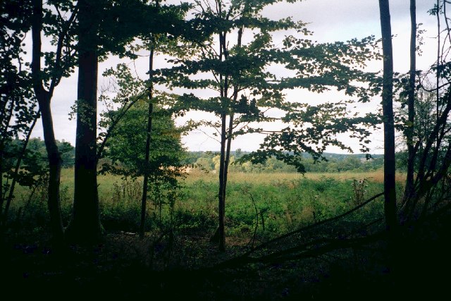
- 🌿Ancient woodland — rare wildlife habitat
Best for
Wildlife
Very strong match
Multi-group wildlife — Amphibians, Birds, Mammals, Reptiles; Multi-group wildlife — Amphibians, Birds, Mammals, Reptiles
Bird watching
Very strong match
Birds — Blackbird, Woodpigeon, Great Tit +64 more · last seen 2025; Birds — Blackbird, Woodpigeon, Great Tit +64 more · last seen 2025
Foraging
Strong match
Plants — Wild Onion, Spear Mint, Bramble +13 more foraging species; Deciduous woodland — fungi, berries and wild garlic
Seasonal nature
Strong match
Ancient woodland — bluebells, fungi and autumn colour; Plants — Bluebell, Fox-tail Feather-moss, Pyramidal Orchid +86 more · last seen 2022
Insect spotting
Strong match
Insects — Small White, Large White, Gatekeeper +93 more · last seen 2025; Insects — Small White, Large White, Gatekeeper +93 more · last seen 2025
Dog walks
Strong match
Dogs allowed — public woodland
Trails nearby
Within roughly 5 km🚶Walking
5 signed routes nearby · 1 public path nearby
Signed route nearbyPublic paths
Walking
Oxfordshire WayWalking route110 km
a traverse of Oxfordshire from the Cotswolds to the Chilterns
Shakespeare's WayWalking route235 km
Wychwood WayWalking route59.5 km
The Roman WayWalking route274.5 km
European walking route E2 west, UK, South East EnglandWalking route
Westroute: Stranraer (UK) - Birminhgham (UK) - Calais (FR) - Zoersel (BE) / Eastroute: Stranraer (UK) - Harwich (UK) - Rotterdam (NL) - Zoersel (BE) / Both Routes: Zoersel (BE) - Maastrich (NL) - Luxembourg (LUX) - Lake Geneva (CH) - Nice (FR)
Patch Ridingpublic footpath · 3.3 km
🚴Cycling
40 signed routes nearby
Signed route nearby
Cycling
Cotswold Line Cycle RouteCycling route
NCN National Route 57Cycling route
National Byway (Oxon and Glos)Cycling route
Witney to Long Hanborough Cycle PathCycling route
Main RouteCycling route2.1 km
Main RouteCycling route756 m
Wildlife to spot
Photos
Weather for this location
Loading local forecast…
Nearby places
Useful places within 5 km
Own or manage this place?
Claim this listing to keep details accurate, add photos, and highlight what makes it special — free.
Claim this pageHow was your visit?
How useful was the information on this page?
id: d796abb8-0837-419a-98f6-c1c19f9c33f9