Getting here
51.66912, -1.15802
Visiting this summer
Seasonal nature notes and what to look for now
Visiting this summer
Seasonal nature notes and what to look for now
- 🐦92+ species recorded in this area — summer evenings are best for activity; watch for Carrion Crow and Blackbird
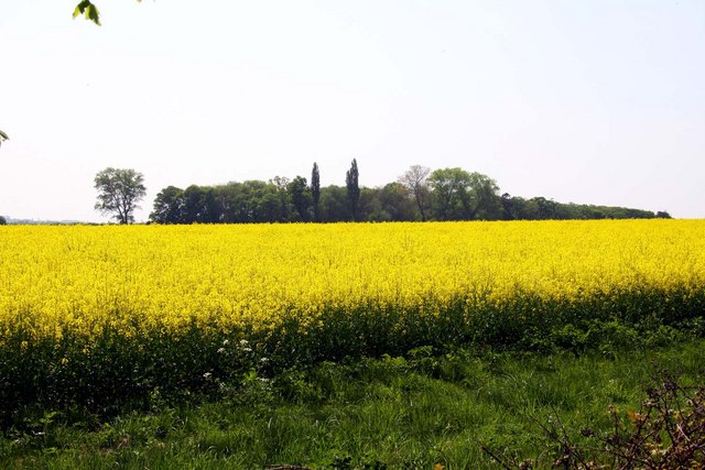
- 🌿Foraging is at its best in summer here
- 🐕Dogs welcome — bring water in summer; the site has enough space to find shade on hot days
🌤️ Visiting this summer
- 🐦92+ species recorded in this area — summer evenings are best for activity; watch for Carrion Crow and Blackbird
- 🌿Foraging is at its best in summer here
- 🐕Dogs welcome — bring water in summer; the site has enough space to find shade on hot days
Good to know
- £Free to visit — no entry charge
- 🐕Dogs welcome
Best for
Bird watching
Very strong match
Birds — Carrion Crow, Blackbird, Black-headed Gull +89 more · last seen 2025; Birds — Carrion Crow, Blackbird, Black-headed Gull +89 more · last seen 2025
Wildlife
Very strong match
Multi-group wildlife — Birds, Mammals; Multi-group wildlife — Birds, Mammals
Insect spotting
Good match
Insects — Common Blue Damselfly, Beautiful Demoiselle, Red-headed Cardinal Beetle +10 more · last seen 2025; Insects — Common Blue Damselfly, Beautiful Demoiselle, Red-headed Cardinal Beetle +10 more · last seen 2025
Foraging
Good match
Deciduous woodland — fungi, berries and wild garlic
Forest walks
Moderate match
Public woodland
Trails nearby
Within roughly 5 km🚶Walking
6 signed routes nearby · 3 public paths nearby
Signed route nearbyPublic paths
Walking
Oxford Green Belt WayWalking route87 km
Shakespeare's WayWalking route235 km
The Roman WayWalking route274.5 km
European walking route E2 west, UK, South East EnglandWalking route
Westroute: Stranraer (UK) - Birminhgham (UK) - Calais (FR) - Zoersel (BE) / Eastroute: Stranraer (UK) - Harwich (UK) - Rotterdam (NL) - Zoersel (BE) / Both Routes: Zoersel (BE) - Maastrich (NL) - Luxembourg (LUX) - Lake Geneva (CH) - Nice (FR)
Thames PathWalking route296 km
🚴Cycling
11 signed routes nearby
Signed route nearby
Cycling
National Cycle Network Route 5Cycling route
Didcot to Culham Science CentreCycling route
Main RouteCycling route37 m
Main RouteCycling route390 m
Main RouteCycling route728 m
Main RouteCycling route23 m
Wildlife to spot
Photos
Weather for this location
Loading local forecast…
Nearby places
Useful places within 5 km
Own or manage this place?
Claim this listing to keep details accurate, add photos, and highlight what makes it special — free.
Claim this pageHow was your visit?
How useful was the information on this page?
id: 300370c6-daa1-46f4-9386-7f5ca031e589