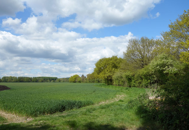
The Gorse ✦ Ancient woodland 5 ha
Plan your visit
🦉 Wildlife🦅 Birds🦋 Insects
Public access Free entry Dogs welcome 5 ha
Places › England › South East › Wokingham Getting here
51.47488, -0.82386
Open directionsv Visiting this summer
Seasonal nature notes and what to look for now
▾ 🌞 Midsummer — early morning visits most comfortable; look for deer fawns in quieter clearings 🐕 Early mornings are best for dog walks in summer — visit before 9am to avoid the heat and find quieter trails 📍 Open access throughout summer — no booking required 🌤️ Visiting this summer
🌞 Midsummer — early morning visits most comfortable; look for deer fawns in quieter clearings 🐕 Early mornings are best for dog walks in summer — visit before 9am to avoid the heat and find quieter trails 📍 Open access throughout summer — no booking required £ Free to visit — no entry charge🐕 Dogs welcome🌿 Ancient woodland — rare wildlife habitat🦉 Wildlife
Very strong match
Multi-group wildlife — Birds, Mammals, Reptiles; Multi-group wildlife — Birds, Mammals, Reptiles
Free
🦅 Bird watching
Very strong match
Birds — Robin, Woodpigeon, Blackbird +63 more · last seen 2025; Birds — Robin, Woodpigeon, Blackbird +63 more · last seen 2025
Free
🦋 Insect spotting
Strong match
Insects — Meadow Brown, Speckled Wood, Red Admiral +63 more · last seen 2024; Insects — Meadow Brown, Speckled Wood, Red Admiral +63 more · last seen 2024
Free
Dogs allowed — public woodland
Free
🍂 Seasonal nature
Strong match
Ancient woodland — bluebells, fungi and autumn colour; Plants — Bluebell, Himalayan Balsam · last seen 2020
Free
Deciduous woodland — fungi, berries and wild garlic
Varies
Trails nearby Within roughly 5 km 11 signed routes nearby · 3 public paths nearby
Signed route nearby Public paths
Cabbage Hill Blue Route Walking route ▾
Named route Ref blue Local walking route
Show on map The Chiltern Way Berkshire Loop Walking route 28 km ▾
Long distance path
Named route Ref CWB Length 28 km Regional walking route
Show on map European walking route E2 west, UK, South East England Walking route ▾
Westroute: Stranraer (UK) - Birminhgham (UK) - Calais (FR) - Zoersel (BE) / Eastroute: Stranraer (UK) - Harwich (UK) - Rotterdam (NL) - Zoersel (BE) / Both Routes: Zoersel (BE) - Maastrich (NL) - Luxembourg (LUX) - Lake Geneva (CH) - Nice (FR)
Named route Ref E2 International walking route
Show on map The Wokingham Way Walking route ▾
Named route Regional walking route
Show on map Ramblers Route Walking route ▾
Named route Local walking route
Show on map 44 signed routes nearby
Signed route nearby
Greenway Red route Cycling route ▾
Named route Ref red Local cycle route
Show on map Round Berkshire Cycle Route Cycling route ▾
Named route Regional cycle route
Show on map Route R20 Cycling route ▾
Named route Ref R20 Local cycle route
Show on map Route 422 Cycling route ▾
Named route Ref 422 National Cycle Network
Show on map Bader Way Cycleway Cycling route ▾
Named route Local cycle route
Show on map EuroVelo 2 - Capitals Route - part United Kingdom 5 Cycling route ▾
Named route Ref EV2 International cycle route
Show on map 3 public paths nearby
Public paths
Mire Lane restricted byway · 159 m ▾
Public path restricted byway Length 159 m Path type: track
Show on map Mire Lane restricted byway · 591 m ▾
Public path restricted byway Length 591 m Path type: track
Show on map 36 restricted byway · 346 m ▾
Public path restricted byway Length 346 m Path type: footway
Show on map ✦ Ancient woodland — continuously wooded since at least 1600 AD. A rare and irreplaceable habitat, rich in biodiversity and historical character.
Weather for this location Next 14 days Nearby places Useful places within 5 km
Own or manage this place?
Claim this listing to keep details accurate, add photos, and highlight what makes it special — free.
Claim this page→ How useful was the information on this page?
id: 73bf158d-e015-43bb-a1c0-09911dbfb8ad
UK green spaces mapped from open public data — so anyone can find the woodland, trail, or nature reserve closest to them.
© 2026 Glade · Made with care for UK green spaces
Events & activities nearby Switch provider to compare local events, tours and bookable activities.
Bookable tours GetYourGuide Promote here
Wildlife to spot
7,593 records · National Biodiversity Network
▾
Wildlife to spot 7,593 records · National Biodiversity Network 🐦 Birds 44 species
winter summer
2025 ▾
Redwing · Blue Tit · Woodpigeon · Great Spotted Woodpecker · Blackbird +39
Redwing Turdus iliacus2023 Blue Tit Cyanistes caeruleus2023 Woodpigeon Columba palumbus Great Spotted Woodpecker Dendrocopos major2023 Blackbird Turdus merula2023 Jackdaw Coloeus monedula2023 Robin Erithacus rubecula2023 Great Tit Parus major2023 Magpie Pica pica2023 Carrion Crow Corvus corone2023 Skylark Alauda arvensis2022 Starling Sturnus vulgaris2023 Egyptian Goose Alopochen aegyptiaca2023 Chaffinch Fringilla coelebs2023 Goldfinch Carduelis carduelis2022 Pheasant Phasianus colchicus2022 Herring Gull Larus argentatus2023 Brambling Fringilla montifringilla2023 Collared Dove Streptopelia decaocto2023 Fieldfare Turdus pilaris2023 Meadow Pipit Anthus pratensis2022 Tufted Duck Aythya fuligula2022 Cormorant Phalacrocorax carbo2022 House Sparrow Passer domesticus2022 Kestrel Falco tinnunculus2022 Mallard Anas platyrhynchos2022 Coot Fulica atra2022 Song Thrush Turdus philomelos2022 Greenfinch Chloris chloris2022 Nuthatch Sitta europaea2022 Rook Corvus frugilegus2022 Blackcap Sylvia atricapilla2022 Yellowhammer Emberiza citrinella2022 Wren Troglodytes troglodytes2022 Swift Apus apus2022 Long-tailed Tit Aegithalos caudatus2022 Dunnock Prunella modularis2022 Whitethroat Curruca communis2022 Swallow Hirundo rustica2022 Grey Heron Ardea cinerea2022 Chiffchaff Phylloscopus collybita2022 Black-headed Gull Chroicocephalus ridibundus2022 Pied Wagtail Motacilla alba yarrellii2022 Stock Dove Columba oenas2022 Common Pipistrelle · Pipistrelle Bat species · Noctule · Nyctalus/Eptesicus agg. · Hedgehog +4
Common Pipistrelle Pipistrellus pipistrellus2024 Pipistrelle Bat species Pipistrellus2024 Noctule Nyctalus noctula2023 Nyctalus/Eptesicus agg. Nyctalus/Eptesicus agg.2024 Hedgehog Erinaceus europaeus2022 Eurasian Serotine 🐝 Insects 8 species
spring summer
2024 ▾
Stag Beetle · Helophilus pendulus · Lime Hawk-moth · Brown-tail · Red Underwing +3
Stag Beetle Lucanus cervus2023 Helophilus pendulus Helophilus pendulus Lime Hawk-moth Mimas tiliae2023 Brown-tail Euproctis chrysorrhoea2023 Red Underwing Catocala nupta2022 Field Grasshopper Species observations from the last 10 years via NBN Atlas
Cnephaeus serotinus2023
Cnephaeus serotinus2023
Grey Squirrel Sciurus carolinensis
Grey Squirrel Sciurus carolinensis
Soprano Pipistrelle Pipistrellus pygmaeus2022
Soprano Pipistrelle Pipistrellus pygmaeus2022
Rabbit Oryctolagus cuniculus2023
Rabbit Oryctolagus cuniculus2023 Chorthippus brunneus2022
Chorthippus brunneus2022
Humming-bird Hawk-moth Macroglossum stellatarum2022
Humming-bird Hawk-moth Macroglossum stellatarum2022
Polydrusus formosus Polydrusus formosus2022
Polydrusus formosus Polydrusus formosus2022