🌞Midsummer — early morning visits most comfortable; look for deer fawns in quieter clearings
🐕Early mornings are best for dog walks in summer — visit before 9am to avoid the heat and find quieter trails
🅿️Parking nearby — easy to reach by car
🌤️ Visiting this summer
🌞Midsummer — early morning visits most comfortable; look for deer fawns in quieter clearings
🐕Early mornings are best for dog walks in summer — visit before 9am to avoid the heat and find quieter trails
🅿️Parking nearby — easy to reach by car
Good to know
£Free to visit — no entry charge
🐕Dogs welcome
🚲Bike parking🅿️Parking· Free
Best for
9 activities
🐶
Dog walks
Strong match
Dogs allowed — country park
Free
🌲
Forest walks
Strong match
Country park
Free
🛝
Family friendly
Good match
Country park — designed for family visits
Free
🧺
Picnic day out
Good match
Country park — good for group day out
Free
🦉
Wildlife
Good match
Country park — managed habitat
Free
🥾
Hiking
Moderate match
Named hiking route nearby: Millstream Way
Free
Trails nearby
Within roughly 5 km
🚶
Walking
▾
13 signed routes nearby · 47 public paths nearby
Signed route nearbyPublic paths
Grand Union Canal WalkWalking route234 km▾
Birmingham to Napton section
Named routeLength 234 kmRegional walking route
Balsall Heath Tree Trail EastWalking route▾
Named routeLocal walking route
Balsall Heath Tree Trail WestWalking route▾
Named routeLocal walking route
Rail Trail: Olton > ShirleyWalking route12.5 km▾
An 8-mile longer meander along the banks of the Grand Union Canal and the River Cole, through the heart of Tolkein Country!
Duration: 3.5 hours
Distance: 8 miles
Named routeRef rtOltLength 12.5 kmPoint-to-pointLocal walking route
Rail Trail: Shirley > The LakesWalking route8 km▾
A 3-mile trail following the towpath along the Stratford-upon-Avon canal, across Christmas tree plantations, farmland and forests to reach Earlswood Lakes.
Duration: 3 hours
Distance: 5 miles
Named routeRef rtShiLength 8 kmPoint-to-pointLocal walking route
Coleside Avenuepublic footpath · 24 m▾
Public pathpublic footpathLength 24 mSurface asphaltPath type: residential
Banksidepublic footpath · 203 m▾
Public pathpublic footpathLength 203 mPath type: footway
🚴
Cycling
▾
45 signed routes nearby
Signed route nearby
National Cycle Network 5 DiversionCycling route▾
Named routeRef 5National Cycle Network
Route 55Cycling route▾
Named routeRef 55Regional cycle route
Birmingham Local Cycle NetworkCycling route▾
Birmingham Local Cycle Network
Named routeLocal cycle route
National Cycle Network Route 5Cycling route▾
Named routeRef 5National Cycle Network
Cole Valley RouteCycling route▾
Named routeLocal cycle route
Billesley & Shire Country Park CircularCycling route▾
Named routeRef 4Local cycle route
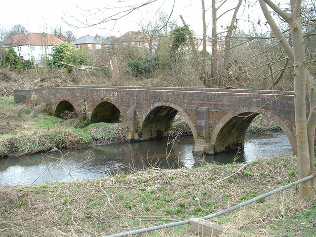
About this country park
The Shire is a Country Park of 91 hectares in Birmingham, West Midlands. It features open green spaces, woodlands, and ponds, offering walking and cycling paths, and providing habitats for various wildlife including birds and squirrels.