Plan your visit
Getting here
51.88300, -1.60476
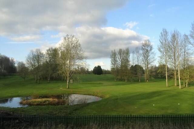
Course details
Visiting this summer
Seasonal nature notes and what to look for now
Visiting this summer
Seasonal nature notes and what to look for now
- ☀️June — long evenings and clear skies; one of the most rewarding months for a late visit
- ⛳Golf is at its best in summer here
- 🐕Dogs welcome — bring water in summer; the site has enough space to find shade on hot days
🌤️ Visiting this summer
- ☀️June — long evenings and clear skies; one of the most rewarding months for a late visit
- ⛳Golf is at its best in summer here
- 🐕Dogs welcome — bring water in summer; the site has enough space to find shade on hot days
Good to know
- 🐕Dogs welcome
Best for
Golf
Very strong match
Golf course
Trails nearby
Within roughly 5 km🚶Walking
7 signed routes nearby · 3 public paths nearby
Signed route nearbyPublic paths
Walking
Oxfordshire WayWalking route110 km
a traverse of Oxfordshire from the Cotswolds to the Chilterns
Wychwood WayWalking route59.5 km
Diamond WayWalking route106 km
D'Arcy Dalton WayWalking route107 km
Follows roughly the western boundary of Oxfordshire in unspoilt countryside.
European walking route E2 west, UK, South East EnglandWalking route
Westroute: Stranraer (UK) - Birminhgham (UK) - Calais (FR) - Zoersel (BE) / Eastroute: Stranraer (UK) - Harwich (UK) - Rotterdam (NL) - Zoersel (BE) / Both Routes: Zoersel (BE) - Maastrich (NL) - Luxembourg (LUX) - Lake Geneva (CH) - Nice (FR)
🚴Cycling
7 signed routes nearby
Signed route nearby
Cycling
Cotswold Line Cycle RouteCycling route
National Byway (Oxon and Glos)Cycling route
Main RouteCycling route5.3 km
Main RouteCycling route46 m
Main RouteCycling route2.3 km
Main RouteCycling route925 m
🐴Horse riding
2 public paths nearby
Public paths
Horse riding
No named routes yet. Public paths are shown on the map.
Wildlife to spot
Photos
Weather for this location
Loading local forecast…
Nearby places
Useful places within 5 km
Own or manage this place?
Claim this listing to keep details accurate, add photos, and highlight what makes it special — free.
Claim this pageHow was your visit?
How useful was the information on this page?
id: 5adea6d7-aeaf-4c88-b992-3679d640ec88