Birds — Blackbird, Robin, Wren +29 more · last seen 2025; Birds — Blackbird, Robin, Wren +29 more · last seen 2025
Free
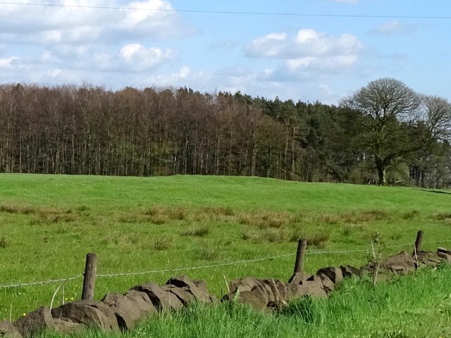
🍂
Seasonal nature
Strong match
Plants — Cuckooflower, Hogweed, Common Nettle +77 more · last seen 2025; Plants — Cuckooflower, Hogweed, Common Nettle +77 more · last seen 2025
Free
🌿
Foraging
Strong match
Plants — Hogweed, Common Nettle, Wood-sorrel +13 more foraging species
Varies
✦
Heritage
Strong match
Historic site
Free
🦋
Insect spotting
Good match
Insects — Syrphus, Mesembrina meridiana, Red-legged Shieldbug +6 more · last seen 2025; Insects — Syrphus, Mesembrina meridiana, Red-legged Shieldbug +6 more · last seen 2025
Free
Trails nearby
Within roughly 5 km
🚶
Walking
▾
9 signed routes nearby · 2 public paths nearby
Signed route nearbyPublic paths
Limestone WayWalking route74 km▾
Castleton to Rocester
Named routeLength 74 kmPoint-to-pointRegional walking route
Weaver WalkWalking route▾
Named routeLocal walking route
Hamps WayWalking route23 km▾
Named routeLength 23 kmLocal walking route
Manifold Valley Circular WalkWalking route▾
Named routeLocal walking route
Friends of the Peak District Boundary WalkWalking route▾
Named routeLocal walking route
Farley 19public footpath · 477 m▾
Public pathpublic footpathLength 477 mSurface unpavedPath type: footway
Farley 47public footpath · 504 m▾
Public pathpublic footpathLength 504 mSurface unpavedPath type: footway
🚴
Cycling
▾
11 signed routes nearby
Signed route nearby
National Route 550Cycling route▾
Named routeRef 550National Cycle Network
Churnet Valley CyclewayCycling route▾
Named routeLocal cycle route
Route 549Cycling route▾
Named routeRef 549National Cycle Network
Main RouteCycling route13.8 km▾
Named routeRef 550Length 13.8 kmNational Cycle NetworkTraffic-freeSurface unsealedfirm
Main RouteCycling route140 m▾
Named routeRef 549Length 140 mNational Cycle NetworkTraffic-freeSurface asphalt
Main RouteCycling route321 m▾
Named routeRef 549Length 321 mNational Cycle NetworkTraffic-freeSurface asphalt